Article Body
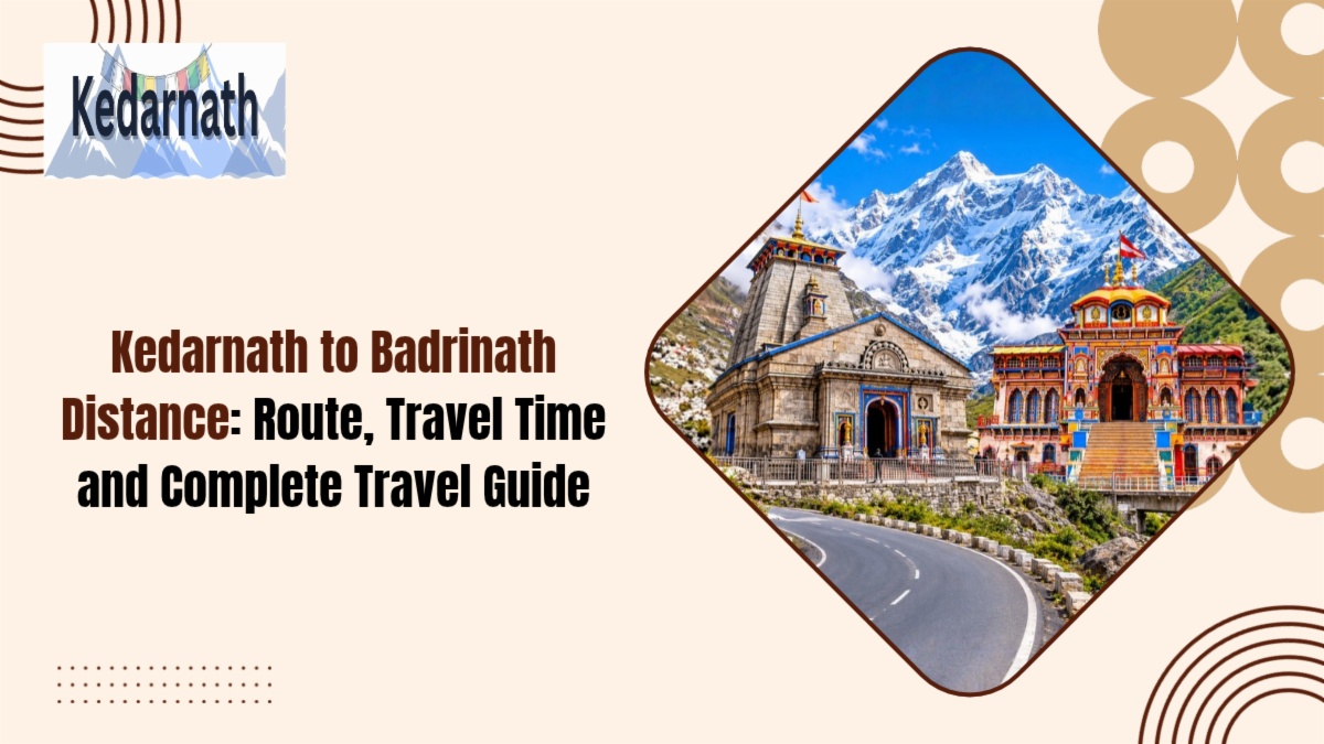
Done with darshan at Kedarnath? Wondering what comes next? Is Badrinath close, or a whole day away? Which road should you take, and how long will it really take? Here’s the quick picture. The kedarnath to badrinath distance is about 230 km by road, yet only about 40 km as the crow flies. Confusing? A little. This guide untangles the routes, timings and stops. Read on, and the kedarnath to badrinath distance will turn into a plan you can trust. Let’s go.
How Far Is the Kedarnath to Badrinath Distance by Road?
Plan on 211 to 231 km, depending on the route. Official figures sit near 230 km.
Most guides say 8 to 11 hours of driving. The official estimate is about 9 to 10 hours.
There’s one catch. The road starts at Gaurikund, not at the temple. You walk 16 km down first, so allow a few hours for that.
|
Measure |
Figure |
|
Road distance |
About 211–231 km |
|
Road time |
8–11 hours |
|
Straight-line distance |
About 40 km |
|
Walk down to Gaurikund |
16 km |
Straight-line numbers fool people. There are mountains in between, and no direct road. The Kedarnath to Badrinath distance by road is the figure that counts.
Which Route Should You Take for the Kedarnath to Badrinath Distance?
Two main roads connect the dhams. Both start from Gaurikund and pass Guptkashi.
Route 1: via Ukhimath, Chopta and Gopeshwar. It’s about 30 km shorter. You get Chopta’s meadows as a bonus.
Route 2: via Rudraprayag, Karnaprayag, Chamoli and Joshimath. It’s the main highway. It runs a bit longer but has more shops, fuel, and help.
|
Route |
Distance |
Time |
Feel |
|
Via Chopta |
About 211 km |
8–9 hours |
Scenic, quieter |
|
Via Rudraprayag |
About 230 km |
9–10 hours |
Busier, more reliable |
On a long Kedarnath to Badrinath journey, the main highway is the safer bet. The Chopta road suits people with time to spare.
What Stops Break Up the Long Drive?
Good stops make the day feel shorter. Here are the usual ones:
-
Guptkashi: a handy first halt after the descent.
-
Rudraprayag: where the Alaknanda and Mandakini rivers meet.
-
Karnaprayag: where the Alaknanda meets the Pindar.
-
Nandaprayag and Chamoli: quick tea breaks.
-
Joshimath: your last big town before Badrinath.
This countdown helps you judge the Kedarnath to Badrinath distance stop by stop:
|
Stop |
Distance to Badrinath |
|
Rudraprayag |
About 154 km |
|
Karnaprayag |
About 122 km |
|
Joshimath |
About 46 km |
Splitting the distance into two days is easier on everyone.
Can You Cover the Kedarnath to Badrinath Distance in One Day?
It’s possible. It’s also tiring.
You’d need to leave Gaurikund very early. Don’t forget that the trek from Kedarnath is a half-day trek alone.
Pilgrims tend to stop off at places like Rudraprayag, Karnaprayag, or even Joshimath, before reaching Badrinath refreshed for the next morning.
Consider a Kedarnath-Badrinath trek as a two-day trek, and you’ll think it’s quite reasonable.
Is There an Alternative to This Road Route?
On the map, it’s a short hop of around 40 km. But no public service flies this stretch regularly.
Some private Char Dham helicopter packages cover it. Ask the operator before you build your plan around it.
Until then, the road decides the Kedarnath to Badrinath distance for most people.
How Do Cab, Bus and Self-Drive Compare?
|
Option |
Comfort |
Flexibility |
Good to Know |
|
Local cab |
Good |
High |
Pick a driver who knows hill roads |
|
Bus or shared taxi |
Basic |
Low |
You may change at Rudraprayag |
|
Self-drive |
Varies |
High |
Only if you’re used to mountains |
A cab is the usual pick. It lets you stop when the view demands it.
When Is the Best Time to Cover the Kedarnath to Badrinath Distance?
May to October works best. Winters are harsh, and the temples close.
The monsoon brings landslides. Weather can stretch the Kedarnath to Badrinath distance by hours, so keep a spare day.
A few habits help:
-
Start at first light.
-
Avoid night driving.
-
Check road updates before leaving.
-
Carry warm clothes and a rain jacket.
-
Keep your yatra registration letter and ID handy.
Conclusion
Badrinath is about 40 km away in a straight line. By road, the distance is approximately 230 km. Take the main highway for safer travel, or choose the Chopta route for scenic mountain views. Split your journey, start early, and keep extra travel time. The Kedarnath to Badrinath distance is long, but the beautiful Himalayan views make it memorable. Before travelling, check the Kedarnath Temple opening date 2027, complete your Kedarnath registration, and review the Chardham registration requirements. Also, check the Chardham Yatra registration 2027 process before departure. If you are travelling from Delhi, compare the Kedarnath distance from Delhi, Haridwar to Kedarnath distance, and Rishikesh to Kedarnath distance. For the final mountain journey, understand the Gaurikund to Kedarnath route and read the Kedarnath trekking guide. You can also check the Kedarnath chopper booking process for helicopter travel. Read the Kedarnath Mandir travel guide for temple timings and useful travel information. Also, review the Kedarnath e Pass and Kedarnath VIP Darshan details before visiting.
Still doubtful? Contact us on WhatsApp. Follow us on Instagram and Facebook for daily updates about the Kedarnath Trip. Don’t forget to subscribe to our YouTube channel for detailed videos.
FAQs
1. How many hours is the Kedarnath to Badrinath distance by car?
Most trips take 8 to 11 hours. The official estimate is about 9 to 10 hours. Rain can add more.
2. Is there a direct road from Kedarnath to Badrinath?
No. You walk 16 km down to Gaurikund first. Then you drive via Guptkashi, Rudraprayag, and Joshimath.
3. Can I finish the Kedarnath to Badrinath distance in one day?
You can, but it’s exhausting. Many pilgrims halt at Rudraprayag, Karnaprayag, or Joshimath. That makes the journey far easier.
4. Where should I stay between the two temples?
Rudraprayag, Karnaprayag, and Joshimath are the usual halts. Book early in May and June, since rooms fill up.
5. Which route is better for the Kedarnath to Badrinath distance, Chopta or Rudraprayag?
The Rudraprayag highway is more reliable. The Chopta road is shorter and prettier. Choose based on weather and time.

Comments